The Web Soil Survey provides soil data and information produced by the National Cooperative Soil Survey. It is operated by the USDA Natural Resources Conservation Service and provides data available online for more than 95 percent of the nation’s counties and anticipates having 100 percent in the near future. The site is updated and maintained online as a single authoritative source of soil survey information.
Ivy Opel at Garrett County Government, has created a How-to Guide for Hydric Soils.
This step-by-step guide provides valuable information about how to select a specific land area and print the results for Grading or Timber Harvest permits.
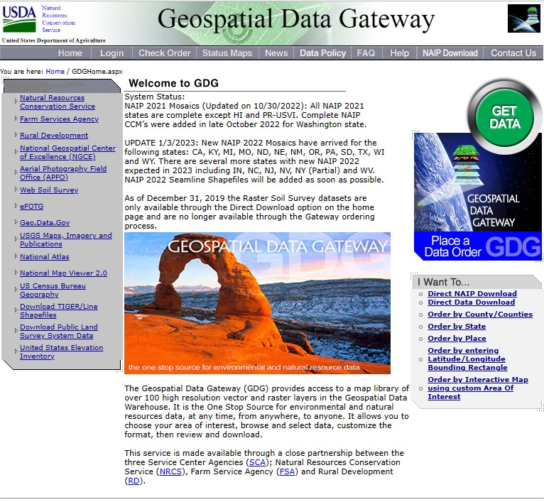
The Geospatial Data Gateway (GDG) is the one-stop-source for environmental and natural resources data, at any time, from anywhere, to anyone.
The Gateway allows you to choose your area of interest, browse and select data from our catalog, customize the format, and have it downloaded or shipped on CD or DVD.
If you would like a hard copy of the 1974 Garrett County Soil Survey, please contact the Garrett Soil Conservation District at 301-501-5886 or email seth.metheny1@maryland.gov