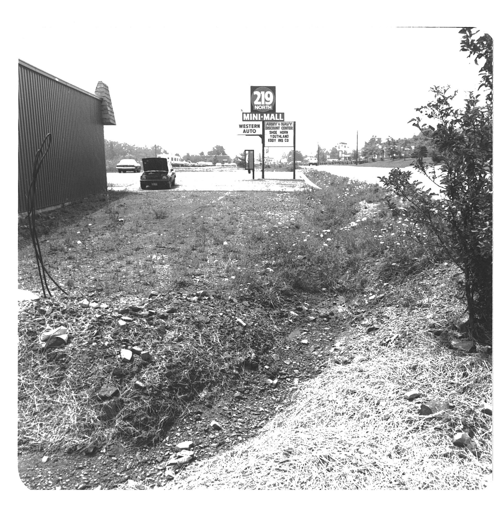
Have you ever wondered why the District is so concerned about erosion? Over the years, there have been many treatments put into place to stop erosion around the county. That means that, today, we don’t see all of the erosion that would be happening if they had not been constructed.
Sometimes you can easily see these projects, like a dam for instance. Other times, they are below ground, such as piping that carries water to an area that is less prone to erosion. Without these aids, soil can wash away causing major destruction.
Take a look at some photos from the past depicting erosion. We still have erosion concerns today as well, which is why the District is still here working on conservation plans and funding for conservation projects.
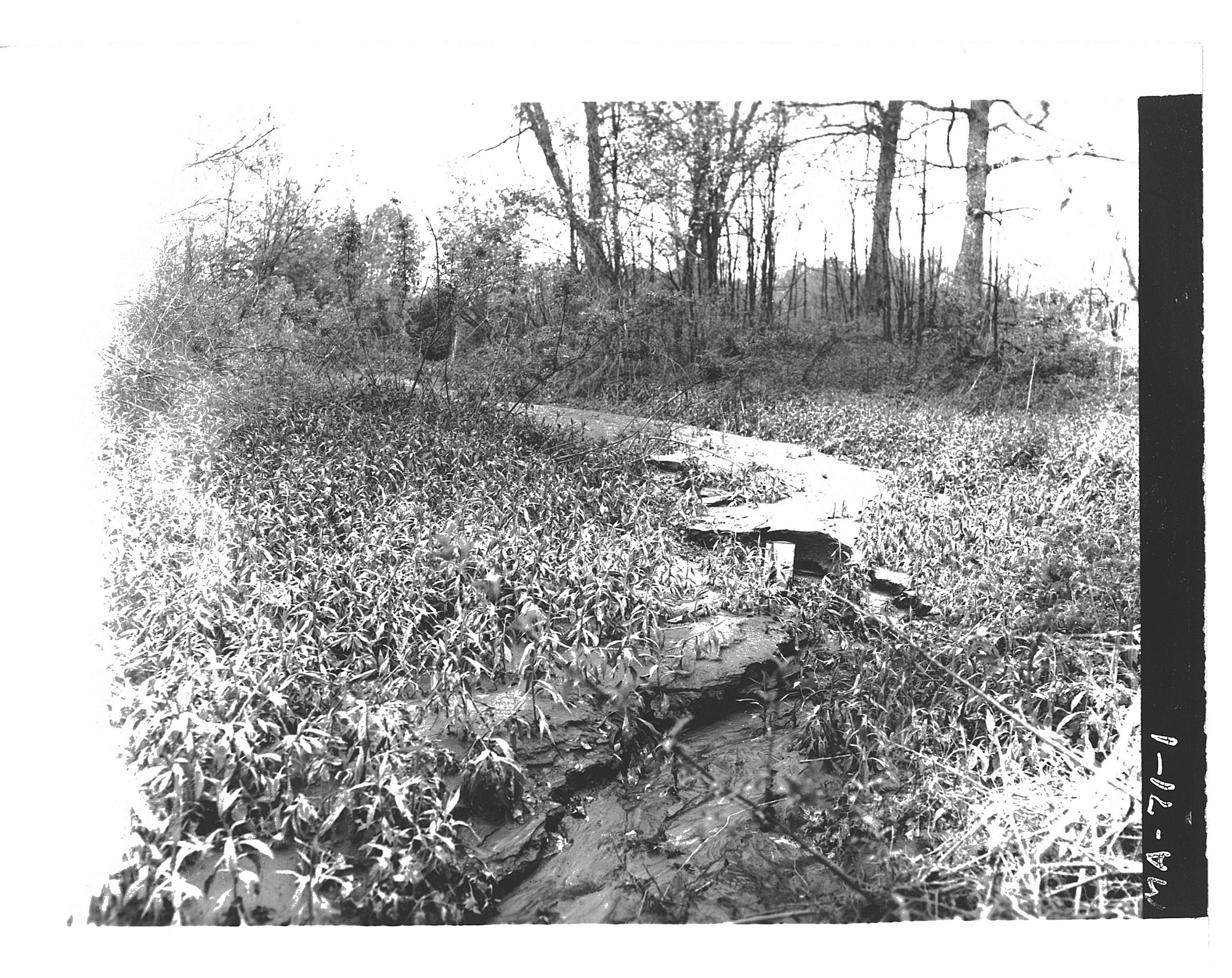
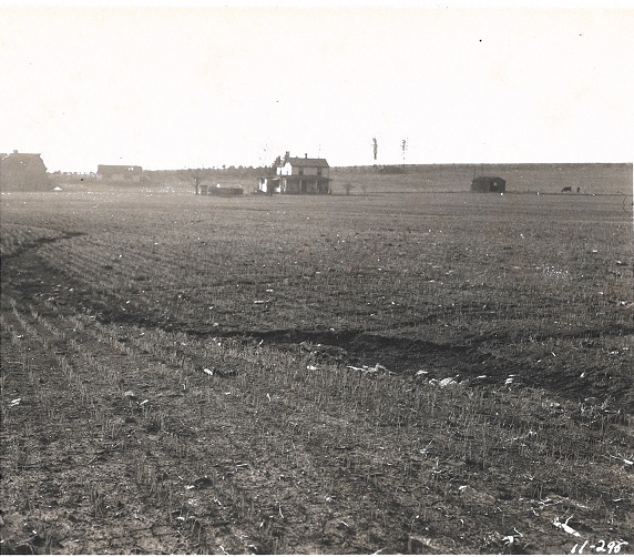
Notice the large culvert in the foreground. This is the result of erosion.
Copyright USDA Soil Conservation Service. All rights reserved. Photo by Chas Ford.
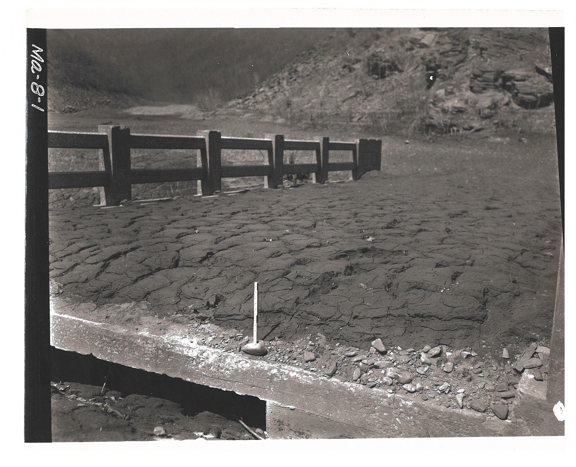
Silt deposit on the old bridge at the junction of Middle Fork and Crabtree. Savage River Dam. April 1, 1955. The ruler in the photo is one foot.
Copyright USDA Soil Conservation Service. All rights reserved. Photo by William Nace.
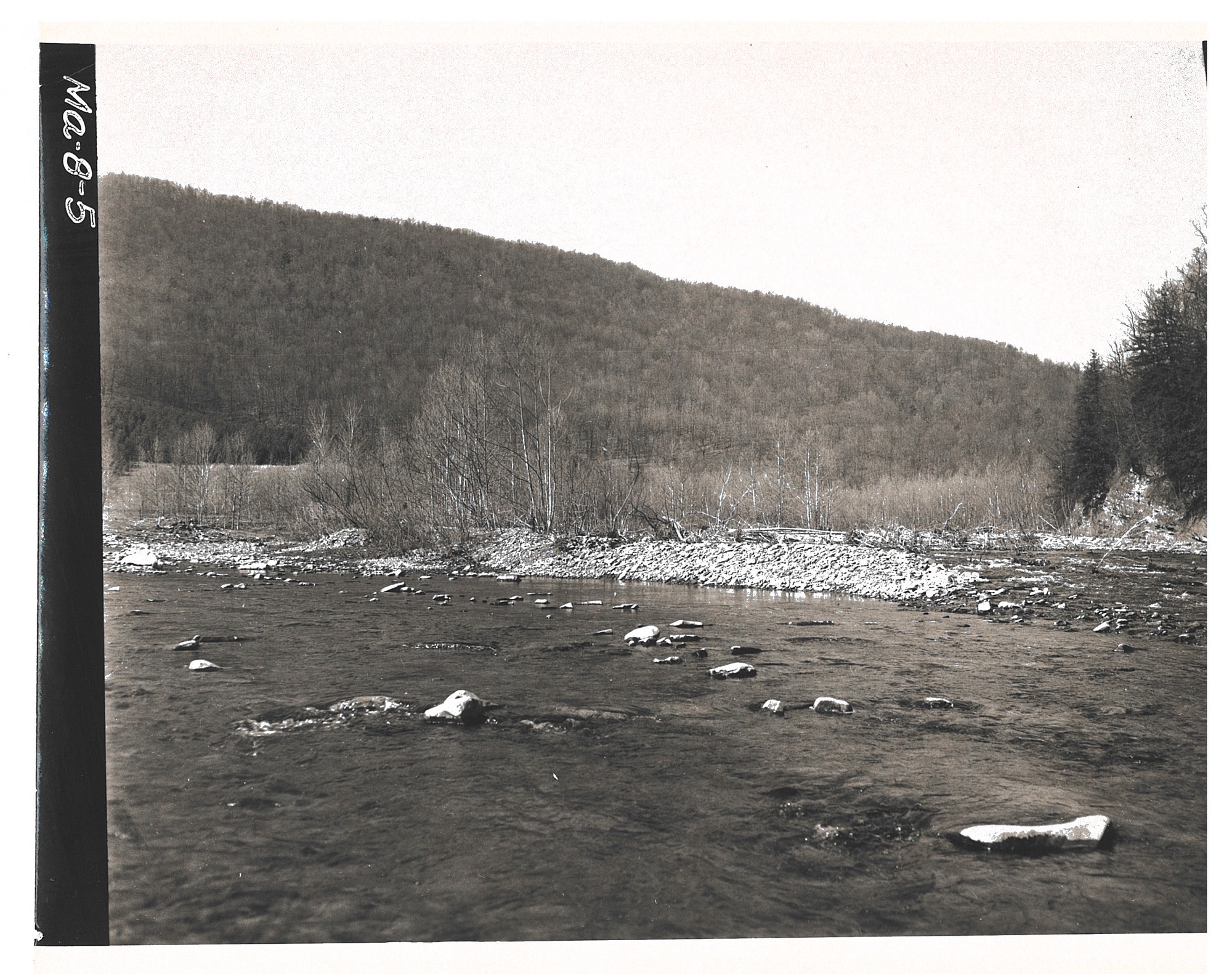
Entrance of Savage River into the dam. Looking upstream. There is a deposit of rubble three feet deep, largely from the October 15, 1954 storm. Photo taken on April 1, 1955.
Copyright USDA Soil Conservation Service. All rights reserved. Photo by William Nace.
Erosion of a farm field in Red House, Maryland. Photo taken on May 29, 1956. Earlier in the month, the central wash was filled with topsoil and smoothed in preparation for planting across the draw. There was a major storm on May 27, 1956 that amounted to 3.5″ rainfall during the day. All of the topsoil was washed out, exposing the tile main.
Copyright USDA Soil Conservation Service. All rights reserved. Photo by William Nace.
August 2, 1956. The huge mud deposit depicted is topsoil that was washed out of a cabbage field as a result of one storm. The location is Red House in Maryland.
Copyright USDA Soil Conservation Service. All rights reserved. Photo by William Nace.
May 1947. Gullying of a field that was just seeded with oats and hay. This was caused by .6 inch of rainfall of not unusual intensity. Cookport Soil, “B” slope. The location is Pleasant Valley, Oakland, Maryland.
Copyright USDA Soil Conservation Service. All rights reserved. Photo by William Nace.